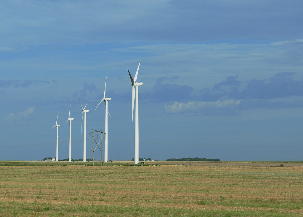
We passed by a windfarm in Spearville, KS. I find these structures amazing and I was so busy snapping pictures of the wind mills that I didn't get a shot of Spearville's grain elevator:

Finally, we crossed into Colorado, but it looks just like Kansas, except more desolate. No crops and no grain elevators. We drove through the Comanche Grasslands where the terrain changed from flat plains to hilly plains:

The distance between towns stretched to 60 miles, with each town marked by a sign and an occasional shack. Not a place you want to break down or run out of gas.
We reached civilization at the town of Trinidad, about 30 miles from our final destination. Here the terrain turned hilly and then mountainous as the Spanish Peaks appeared along the way.

Passing the Stonewall gap, we reached the Bar NI Ranch, nestled between the Stonewall gap and the Culebra Peak. We spent the rest of the day exploring the grounds and the lodge.

No comments:
Post a Comment